Module 3 - Process Elevation Data
Note
The complete watershed elevation file is already included in the project. This exercise is intended to provide practice with the download workflow and to identify any potential issues that may arise during the process.
Step 1: Load elevation data
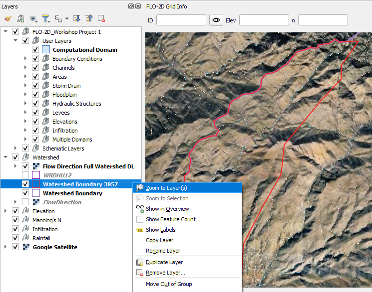
Zoom to the trimmed Watershed Boundary.
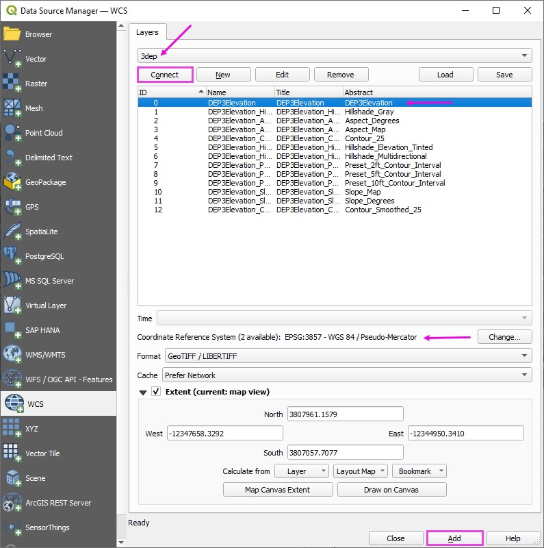
Open the Data Source Manager and find the WCS tab.
Connect the elevation data.
Select the first layer.
Set the coordinate system to 3857. (USGS data uses Metric units.) Add the layer.
Close the Data Source Manager.
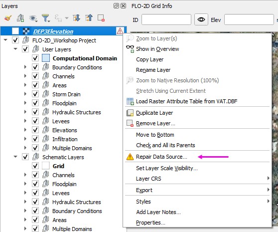
Uncheck the 3DEP layer to prevent loading issues caused by its active data connection.
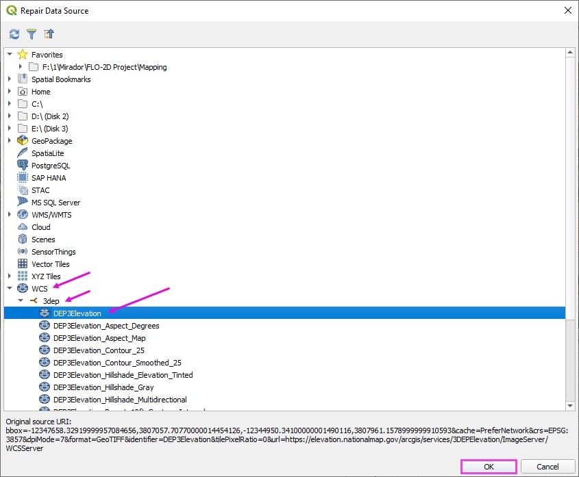
Then right-click the layer and choose Repair Data Source to reestablish the link.
Expand the WCS group
Expand the 3DEP group Select the first layer and click OK.
Note
The reason this reload step is required is not entirely clear; however, it consistently resolves display and connection issues for WCS-based 3DEP elevation layers in QGIS.
Step 2: Download elevation
Important
If the download is taking longer than expected, cancel it from the Progress Bar and verify that the selected extent is not excessively large.
If the download fails or performs poorly, use the following alternative site:
USGS Data DownloaderHint
Local Agency data may be of better quality than 3DEP data.
Right click the DEP3Elevation layer and Export a elevation data to cover the Project Area.
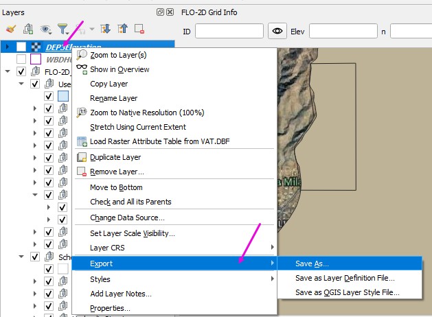
Set the file path.
Make sure the CRS is 3857.
Limit the Extent to Watershed Boundary Layer or Map Canvas if zoomed into the project area.
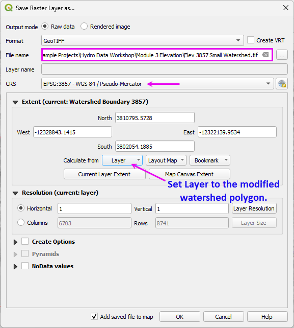
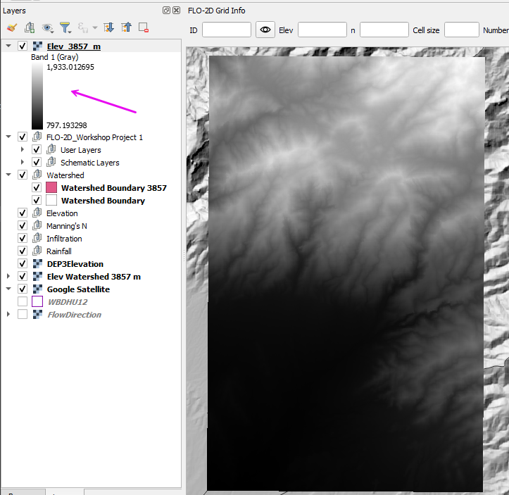
The finished raster should look like this.
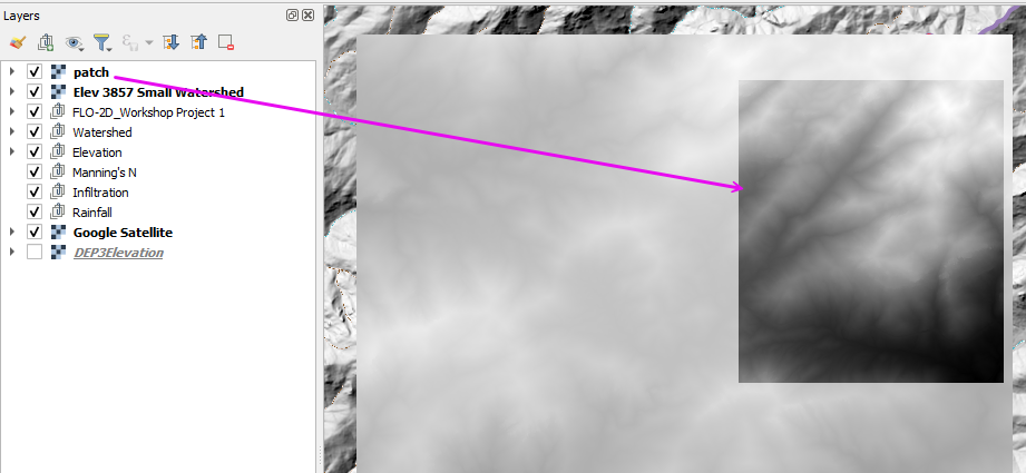
Elevation Patching
If download issues occur, incomplete raster may result.
Warning
If the downloaded raster contains blank areas, unexpected NoData regions, or 0-elevation pixels that are not physically realistic for the terrain, the dataset is incomplete.
Patching Procedure
Identifying the missing or corrupted areas (typically visible as NoData or anomalous 0 values).
Download the small missing sections using a tighter extent that fully covers the gap.
Verifying that all rasters share:
The same coordinate reference system (CRS)
The same cell size
The same NoData definition
Merging (mosaicking) the rasters into a single continuous dataset using tools such as:
GDAL Merge
Build Virtual Raster (VRT)
Merge in QGIS Processing
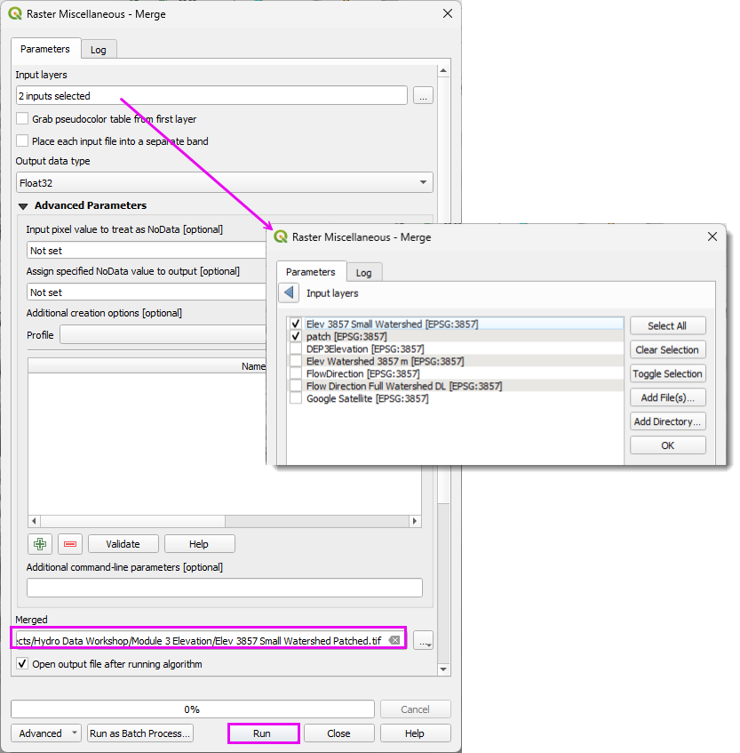
After merging, confirm:
No unintended NoData seams remain.
Elevation statistics are reasonable (minimum, maximum, and mean).
The raster extent fully covers the intended modeling domain.
This approach avoids re-downloading large datasets while preserving continuity in the final elevation surface.
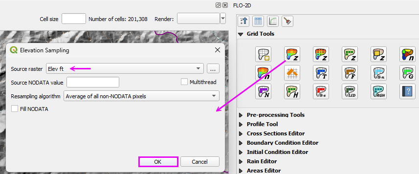
Step 3: Interpolate the elevation to the Grid
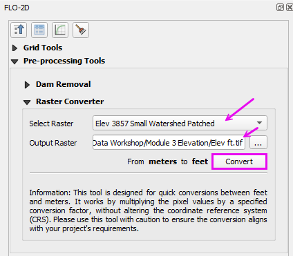
Convert the elevation data from meters to feet.
Run the elevation interpolator.
Select the elevation file.
Click ok.
If desired, remove the 3DEP layer.
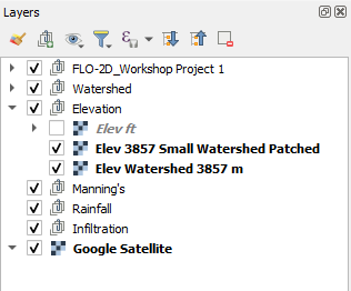
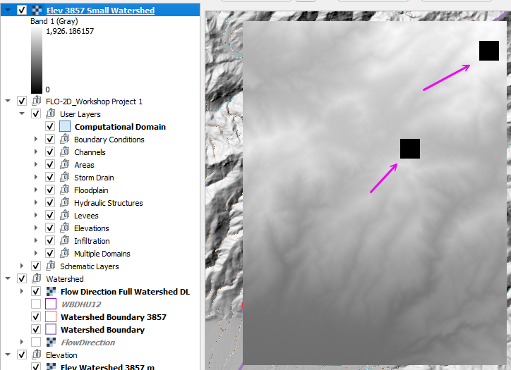
Move the elevation layers to the elevation group.