FLO-2D Plugin Settings#
The FLO-2D Plugin Settings tool is used to set up the FLO-2D layers, set the coordinate system and create the GeoPackage file.

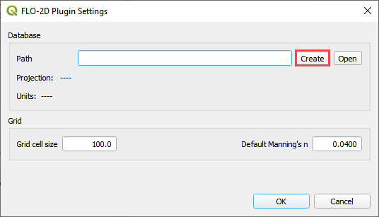
Click on the FLO-2D Plugin Settings tool button.
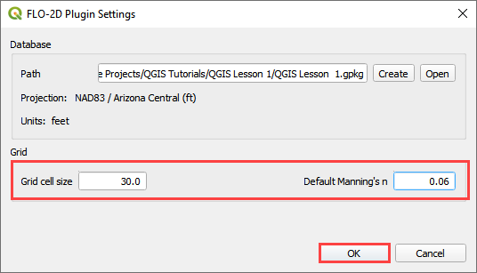
Assign the desired grid element size and baseline n-value.
Click the Create button to set up the GeoPackage location.
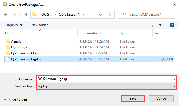
Navigate to the project location: Project name is the user’s choice. Name the file *.gpkg and click Save.
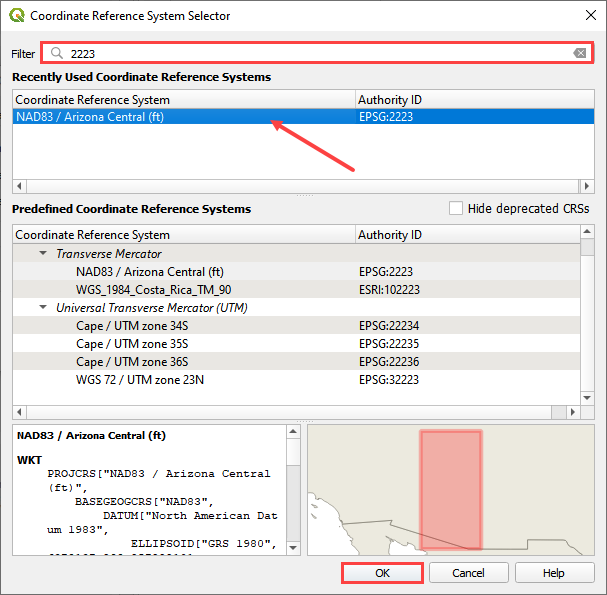
Set the coordinate reference system (CRS) for the project and click OK.
Once the coordinate system is set, choose a grid element size and a default n and click OK