
FLO-2D GeoPackage Management#
The FLO-2D GeoPackage Management tool allows users to delete layers added to the GeoPackage. Whether a layer is too heavy or was added mistakenly, this tool facilitates efficient maintenance of a well-structured GeoPackage.
GeoPackage Management#
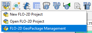
Click on the FLO-2D GeoPackage Management button.
2.The FLO-2D GeoPackage Management dialog will appear.
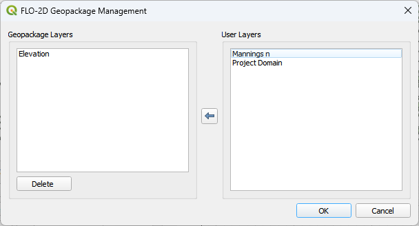
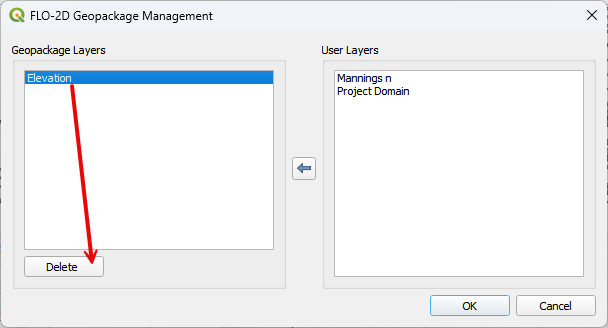
Select the layers that will be deleted by checking them on the FLO-2D GeoPackage Management.
If the layer was correctly deleted, the following message will appear on the QGIS message toolbar.

Note
The layers that can be deleted are layers that were added by the user. The layers required by FLO-2D are not allowed to be deleted and, therefore, are not shown on the FLO-2D GeoPackage Management window.
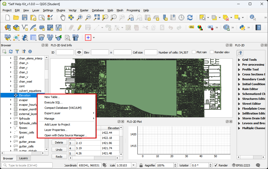
GeoPackage Structure#
Warning
Do not delete layers that are part of the native GeoPackage structure. This will break the project. Perform a backup prior to modifying a geopackage with sqlite tools. Sqlite is a powerful and easy way to perform database modification. Just be careful.
View a GeoPackage Structure using the QGIS Browser panel.
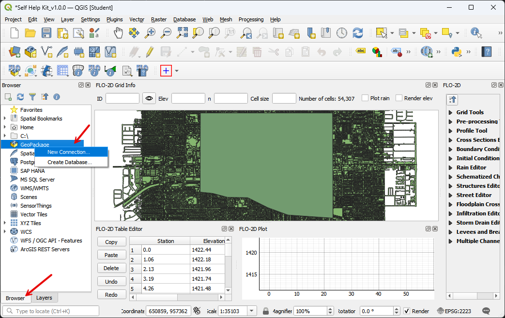
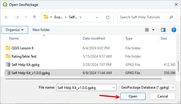
Connect to a GeoPackage to load it into the Browser panel.
Expand the panel and click any table to see some options.
A geopackage can also be viewed and modified in a program called DataBase Browser.