
10. Limiting Froude Spatial#
The Spatial Limiting Froude layer is used to set a limiting Froude number for individual FLO-2D grid elements. For example, overland flow on a gentle slope will is likely subcritical so a limiting Froude value of 0.9 or 0.99 can be assigned. If the limiting Froude is exceeded, due to local slope and roughness assignments, the grid element n-value is incrementally increased and maintains numerical stability that might occur for severe supercritical flow.
The limiting Froude is a way to calibrate n-values for the overland grid.
Note
For further discussion on the limiting Froude numbers refer to the FLO-2D Data Input Manual and the FLO-2D Reference Manual.
Digitize or Copy Data#
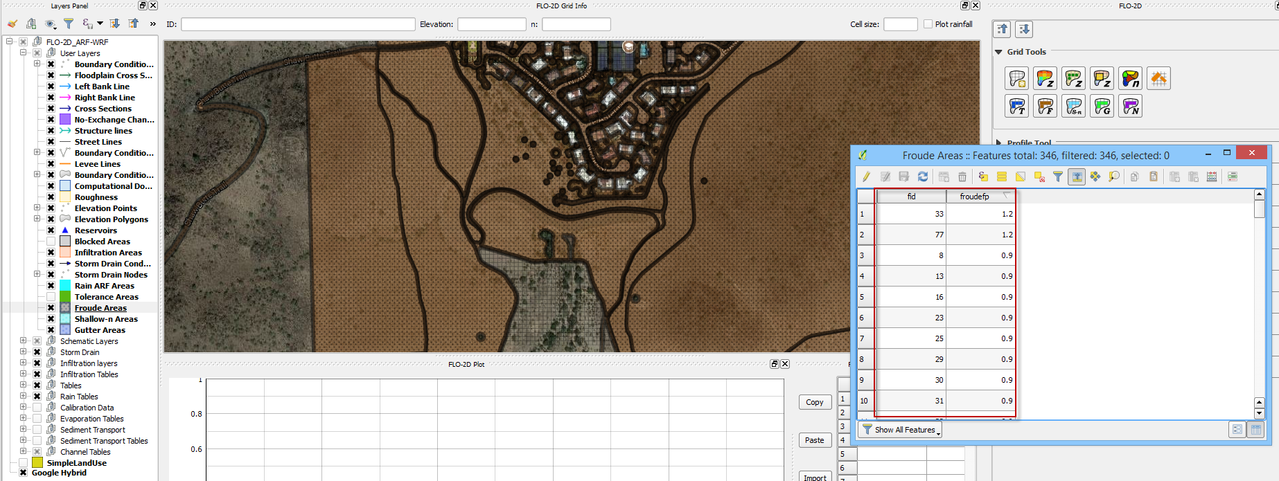
Select the Froude Areas layer and click Toggle Editing.
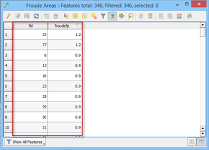
Create or copy the polygons that represent the Froude areas to the layer and save them.
Sample Data#
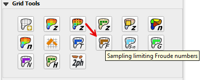
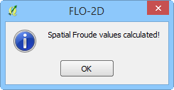
Click the Sampling Limiting Froude Numbers.
Once the process is complete OK to close it.
Troubleshooting#
Create the limiting Froude polygons if they are missing from the Froude Areas layer.
If the Grid layer is empty, create a grid system and try again.
If a Python appears during the sampling process, the attribute table may be missing. Save and reload the project into QGIS and try again.