
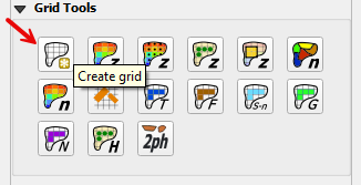
1. Create Grid#
The create a grid processing tool can only be applied to one polygon. The limits of the grid are defined by a single polygon. The polygon can be digitized in the Computational Domain layer or an external layer such as an Area of Interest. Both methods are described below.
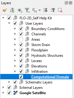
Method 1: Computational Domain#
Select the Computational Domain layer in the Layers Panel>User Layers.
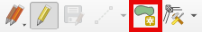
Select the Toggle Editing button from the QGIS Toolbar to activate the editor and then click the Add Polygon Feature button to create a polygon.
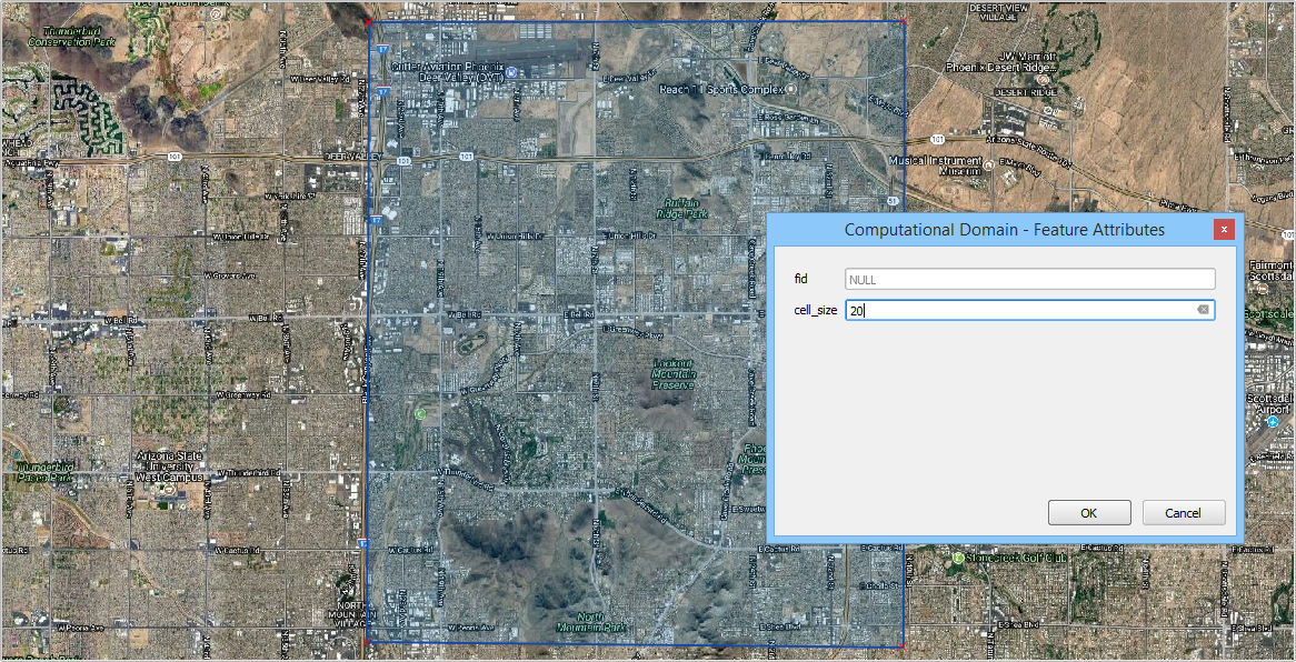
Digitize the polygon in the map canvas and right click to close the polygon. Set the grid element size and click OK to complete the polygon.
Save the layer and turn off the editor by clicking the Editor tool to toggle it off.

From the Grid Tools widget, select Create Grid.
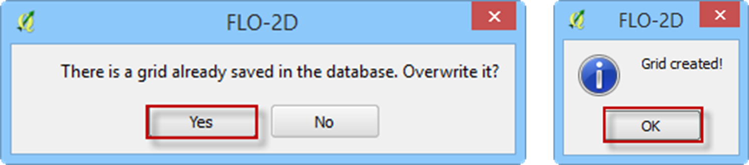
If this is a new project, the grid system will be created automatically. If this is a current project, the user will be asked to overwrite the current grid system. Click Yes to continue or No to cancel. Once the grid system is generated, the Grid created! message will appear. Click OK to close.
If the grid system is not as expected, edit the Computational Domain layer and repeat the Create Grid process.
Note
Each time the grid system is replaced, the elevation and roughness data are also reset and must be recalculated.
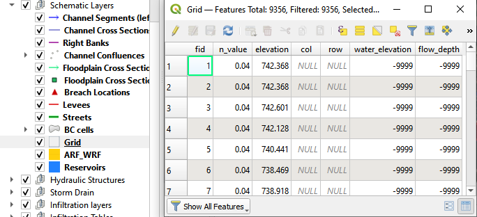
The grid system data is saved to the Grid Schematic Layer as shown below.
Method 2: External Domain Polygon#
This method will use a shapefile with 1 polygon that represents the model area.
Click the Create Grid button.
Select the shapefile and an attribute for cell size and click OK.
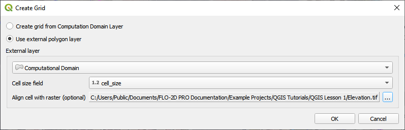
Optionally, select the elevation source to align the grid to a raster pixel.
The tool will add a polygon to the Computational Domain layer and then create the grid.
The optional raster alignment will align the grid to the pixels of a raster.