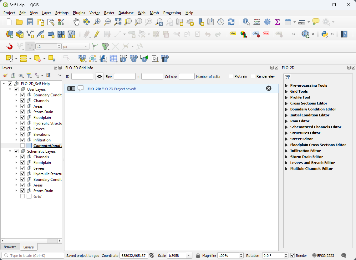
New FLO-2D Project#
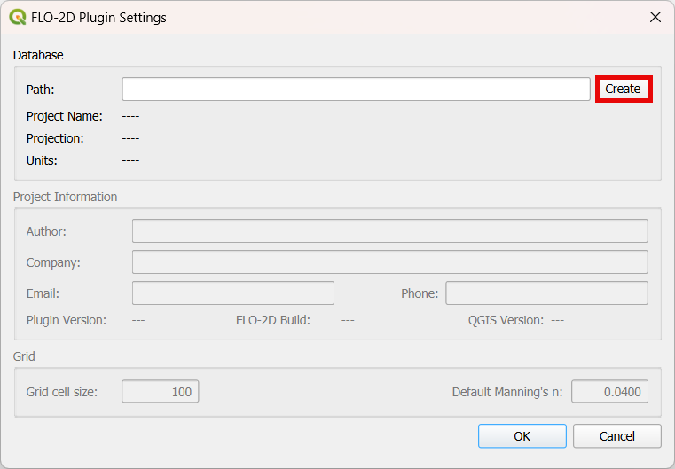
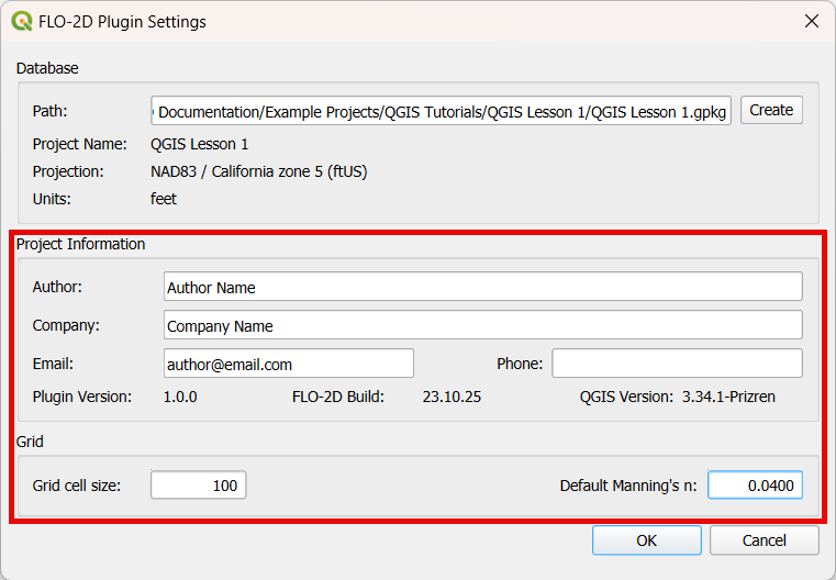
This button sets up a new FLO-2D Project, defining its coordinate system, GeoPackage file, project information, and the default values for grid cell size and Manning’s. Furthermore, the dialog shows the version details for the FLO-2D Plugin, FLO-2D Build, and QGIS.
Create a new FLO-2D Project#
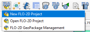
Click on the New FLO-2D Project button.
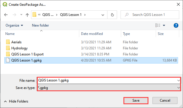
Click the Create button to set up the GeoPackage location.
Navigate to the project location: Project name is the user’s choice. Name the file *.gpkg and click Save.
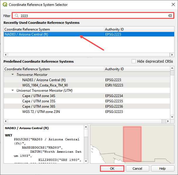
Set the coordinate reference system (CRS) for the project and click OK.
Assign the Project Information, desired grid element size, and baseline n-value.
Note
The Project Information data is not required but recommended. All other input data are required for setting up the FLO-2D Project. Check the FLO-2D Plugin, FLO-2D Build, and QGIS versions before creating a new FLO-2D Project.
Click OK and the FLO-2D Project is created.